USGS Science in and near El Paso
Upper Rio Grande Focus Area Study
USGS is undertaking a 3-year study of water use, availability, and change in the Upper Rio Grande Basin in one of several national “Focus Area Studies” in the Department of Interior’s WaterSMART initiative. The Upper Rio Grande Basin Focus Area Study (URGB FAS) will compile existing information and add new scientific data and interpretation to help stakeholders face current and future water issues.
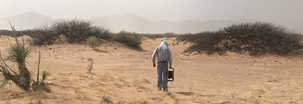
Transboundary Aquifer Assessment Program
Many communities along the United States-Mexico border rely partially or completely on transboundary aquifers for industry, agriculture, and drinking water. Ongoing projects under the Transboundary Aquifer Assessment Program represent a collaboration among USGS Water Science Centers and Water Resources Research Institutes of Arizona, New Mexico, and Texas.
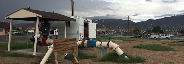
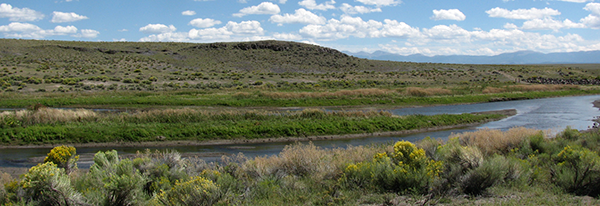
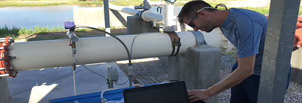
Mesilla Basin Monitoring Program
The Mesilla Basin monitoring program was established in 1987 to document the hydrologic conditions of New Mexico’s southern-most, Rio Grande rift basin. USGS collects and reports data from the Mesilla Basin in cooperation with local, state, and federal agencies. Hydrologic data collected as part of the monitoring program provide valuable information to better understand the geohydrologic system and to support future efforts to update, revise, and calibrate basin models.
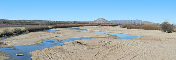
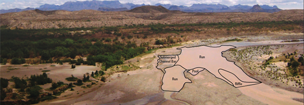
Rio Grande Silvery Minnow in the Big Bend National Park Area
USGS, in cooperation with the U.S. Fish and Wildlife Service, evaluated the physical characteristics and fish assemblage composition of mapped river mesohabitats at four sites on the Rio Grande/Rio Bravo del Norte in and near Big Bend National Park, Texas. In-channel river habitat was mapped at the mesohabitat scale over a range of seasonal streamflows.
Fort Bliss Hydrogeologic Atlas
HA
Fort Bliss, White Sands Missile Range, Doña Ana Range, and McGregor Range military installations are located in far west Texas and south-central New Mexico and operated in support of missions of the U.S. Army. In cooperation with the U.S. Army, USGS is developing a garrison-wide hydrogeologic atlas that describes the hydrology and hydrogeology of Fort Bliss and associated military installations.
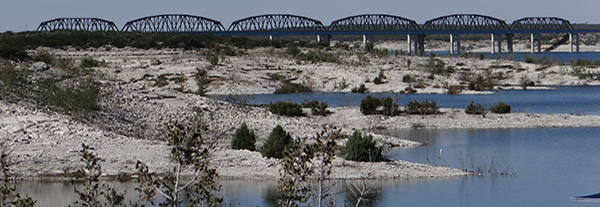
Water Quality Trends from Reservoir Sediment Cores
USGS assessed historical changes in surface-water quality in the Rio Grande Basin (known as the Río Bravo Basin in Mexico) by analyzing changes in sediment chemistry in cores from three reservoirs: Elephant Butte Reservoir, Amistad International Reservoir, and Falcon International Reservoir. Sediments that erode from the land surface are transported by tributaries into the Rio Grande/Río Bravo.