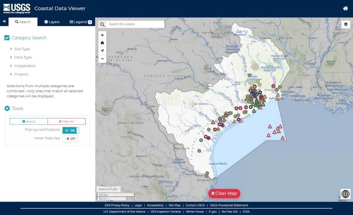
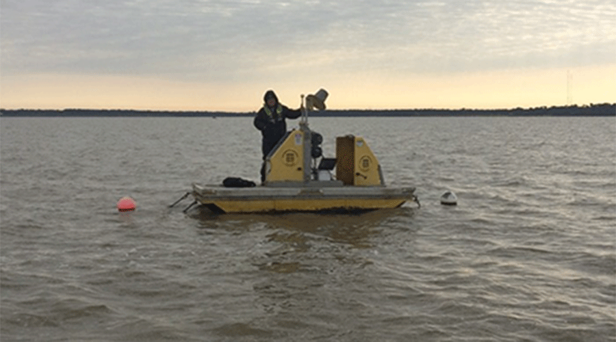
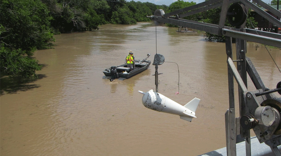
USGS Texas Coastal Science

Coastal Monitoring

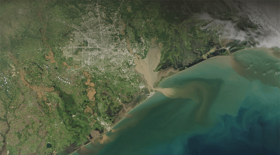
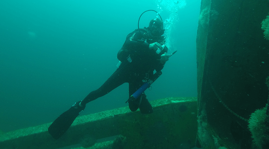
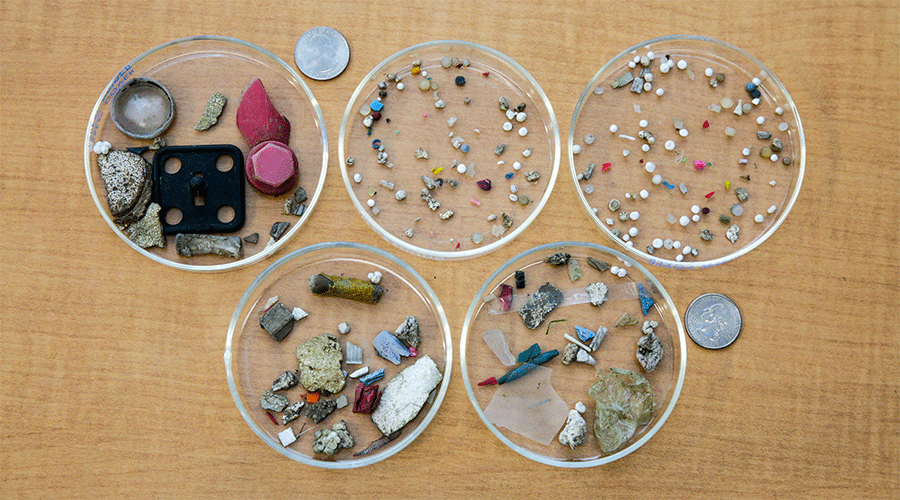
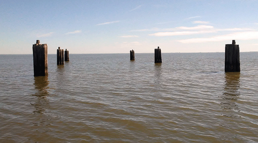
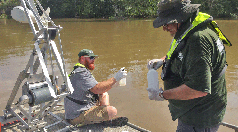
The Texas Gulf Coast is a biologically rich and ecologically diverse region in the state with a fast-growing population. It contains many habitats such as wetlands, bays and estuaries, and artificial reefs. The USGS Oklahoma-Texas Water Science Center (OTWSC) conducts studies on various groundwater, surface water, and water-quality topics to improve our understanding of the natural and anthropogenic processes influencing ecosystems in the Texas Gulf Coast. Studies include the quantification of nutrient and sediment delivery to bays and estuaries, assessments of microplastics in coastal waters, and evaluations on the effects of groundwater withdrawal on land subsidence.

Explore the Map

Texas Gulf Coast Groundwater and Land Subsidence

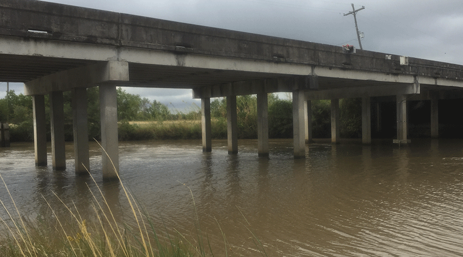
In cooperation with Harris-Galveston Subsidence District, the City of Houston, Fort Bend County Subsidence District, Lone Star Groundwater Conservation District, and Brazoria County Groundwater Conservation District, the U.S. Geological Survey Texas Water Science Center Gulf Coast Program collects, processes, and interprets groundwater-level and aquifer-sediment-compaction data to understand the effects of groundwater withdrawal on land subsidence in the Houston-Galveston region, Texas.

More about Houston Subsidence
Data Viewer Capture

Coastal Science

Visit Coastal Science in Texas for more information about coastal science capabilities at the Oklahoma-Texas Water Science Center.

Texas Integrated Flooding Framework

With partners, develop the guidelines and processes for an integrated framework to model, visualize, and plan for the risk of flooding in Texas counties affected by Hurricane Harvey.

Water Quality Monitoring at Offshore Artificial Reefs

Collecting physical and chemical water properties at selected Texas artificial reefs

Microplastics in Tributaries to Galveston Bay

Assessing the occurrence and abundance of microplastics (plastic particles smaller than 5 mm in diameter) in Galveston Bay and its tributaries.

Water-Quality Monitoring on Lake Houston

Collect, process, and interpret water-quality, streamflow, and reservoir water elevation and capacity data to better understand the effects of urbanization in Lake Houston.

Nutrient and Sediment Monitoring in Inflows to Texas Bays and Estuaries

Evaluating the variability of nutrient and sediment concentrations and loads entering Texas bays and estuaries in Galveston Bay, Matagordo Bay, and Nueces Bay.

Assimilative Capacity of Lake Livingston

Collecting nutrient and sediment data to provide insight into assimilative capacity of reservoirs and impacts to inflows for coastal Texas.

Double Bayou

Providing data to support watershed planning efforts to restore and protect water quality in the Double Bayou watershed.

TWDB Estuary Monitoring

Monitoring salinity at selected locations in estuaries along the Texas coast to understand the dynamic conditions between freshwater in-flows and saline water

Sediment Monitoring

Collect suspended sediment samples to help the TWDB in modeling sediment transport at specific coastal locations.

U.S. Department of the Interior  |   DOI Inspector General   |   White House   |   E-gov   |   Open Government   |   No Fear Act   |   FOIA
USGS Logo